Utility Survey & 3D Modelling
The Durkin Difference
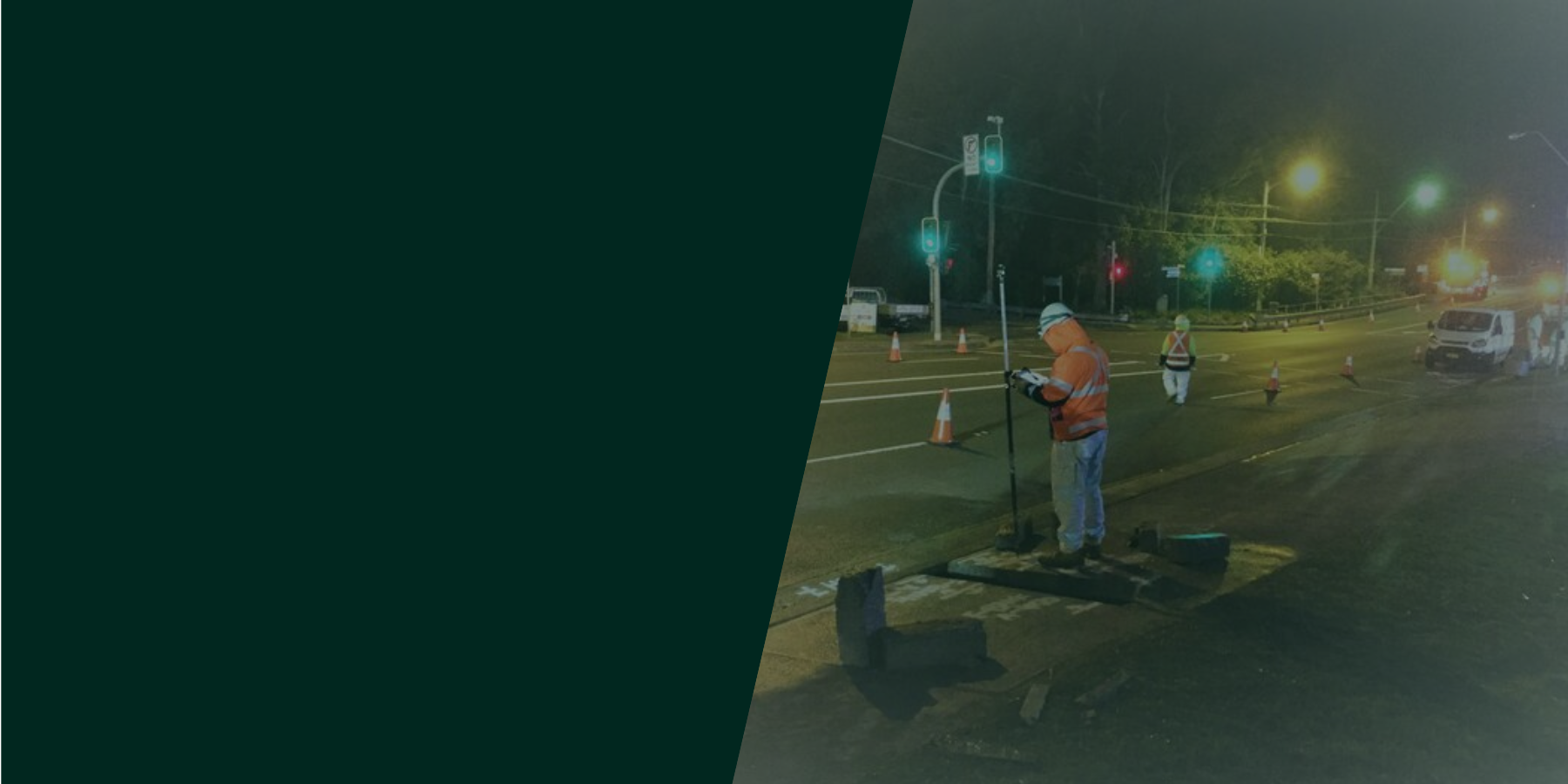
Our Subsurface and Geospatial Technology Departments work closely together to conduct utility surveys that generate accurate 3D models of underground utilities.
Our utility survey outputs can be generated in different formats ranging from 2D drawings to 3D models compatible with BIM/GIS.
We carry out different Geospatial analysis, including Risk Assessment and Clash Detection between the proposed alignments and existing utilities, which can be an invaluable tool for clients. Durkin are on the RMS Engineering Services Panel for Professional Services (Construction Industry), to carry out Underground Utility Survey.


We’re here to help.
Through years of experience and innovation, we can guarantee quality and service without compromising on safety and workmanship. Accredited by some of Australia’s largest bodies, our business speaks for itself. Let Durkin handle your next project for a seamless, safe and high-quality delivery.
Request a quote by completing the form, calling us or emailing your request.
02 9712 0308